


It was decided at the start. We would rely on good old fashioned paper maps and a compass to route us through the Americas. That is to say no GPS solution had yet presented itself.
So, we navigated Mexico and Central America using the latest 16th century technology. It proved to be a valuable experience in patience, culture, and geography. We quickly learned Castallano for turn left at the tree and keep straight ahead until you pass a shack. More importantly we learned that Latinos will gladly and confidently provide directions regardless of their knowledge of the route.

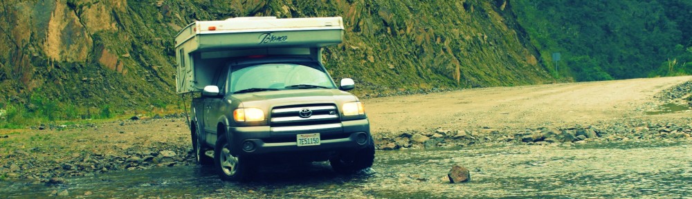
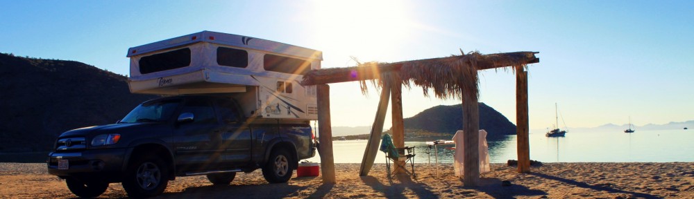
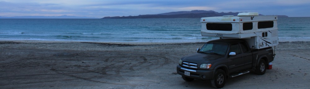
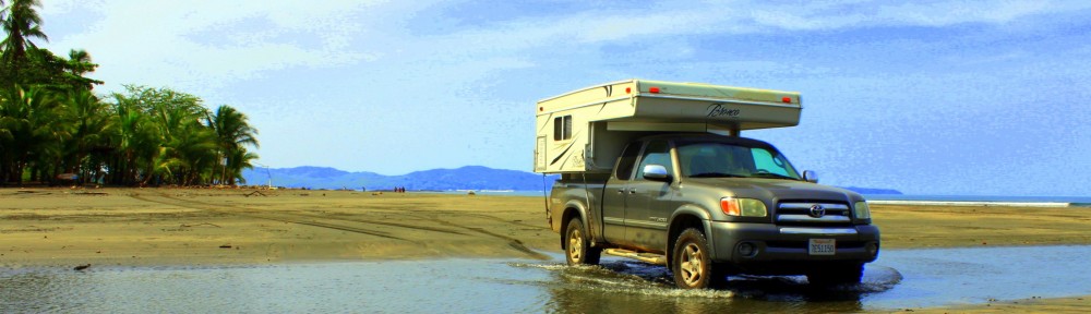
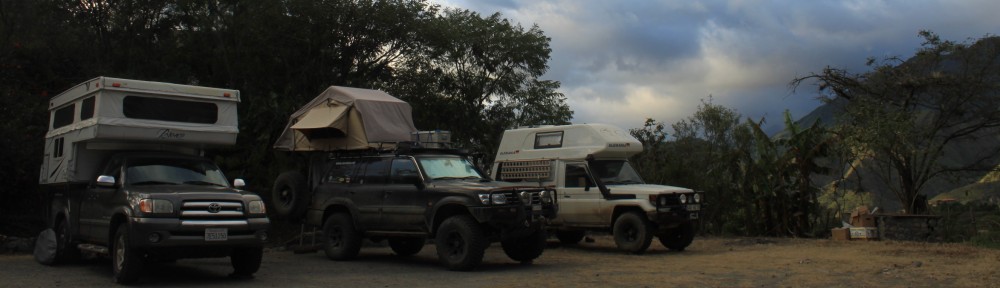
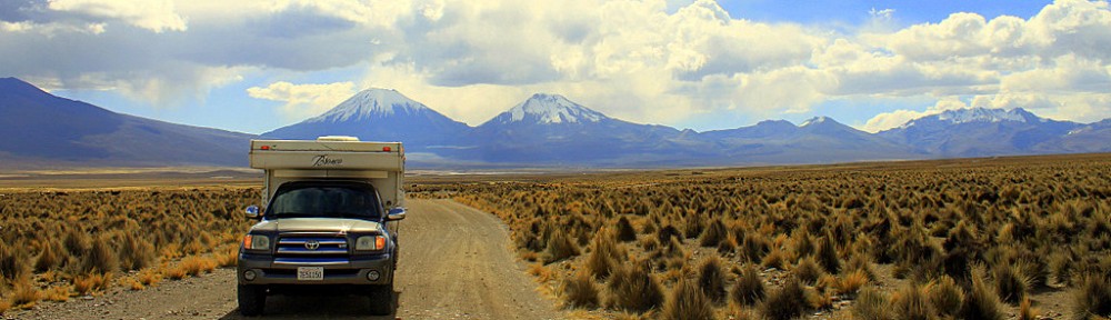
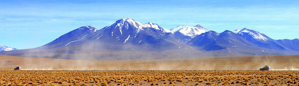
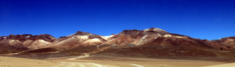
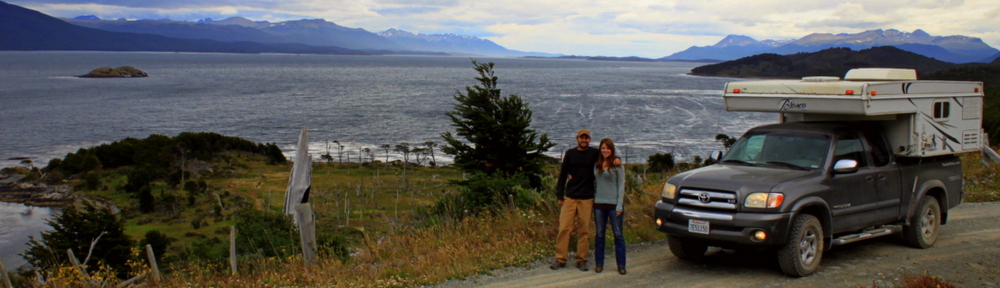
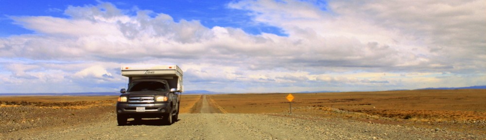
Just passing through town, no big deal
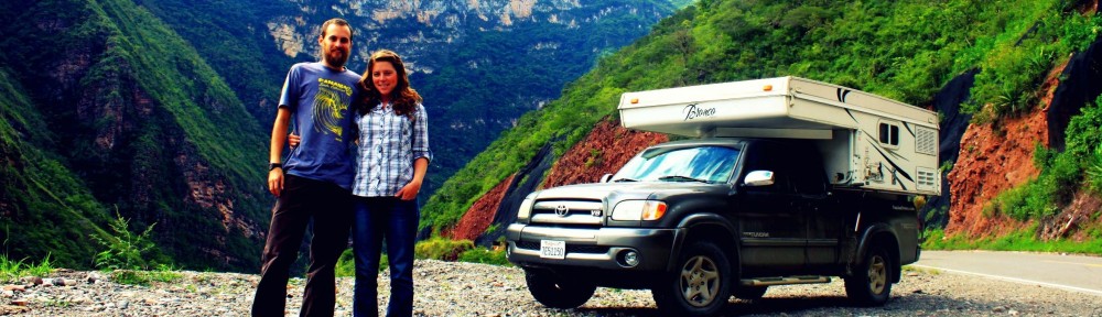
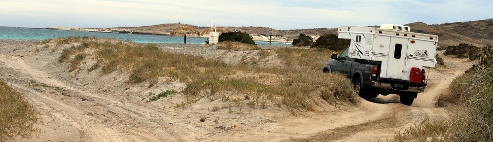
We circled many colonial streets in confusion, cursing every municipality from Mexico to Honduras; the camper groaning with the weight of our misdirection. Eight countries later, in Panama, we had our paper system of navigation zeroed in. And then there was Vince.
Like a ray of sunshine bursting through a cloudy sky, a San Diego native on a KTM Adventure showed us the light. He was returning from a two year sojourn and presented us with free routable maps for every country we would be passing through.

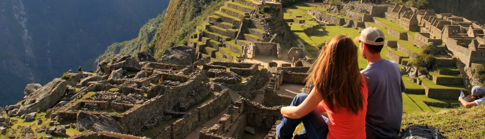
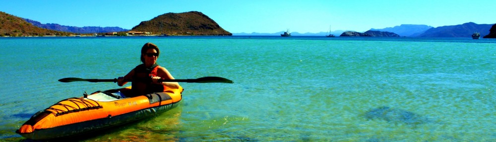
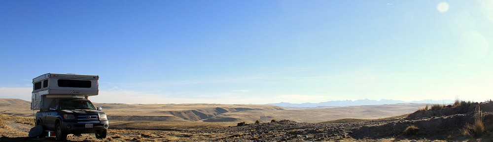
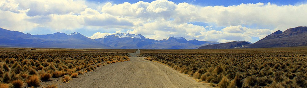
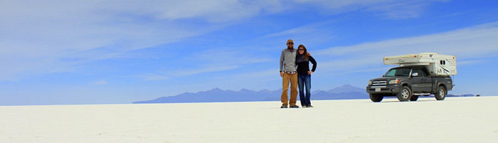
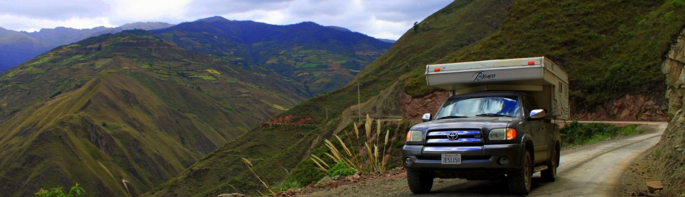
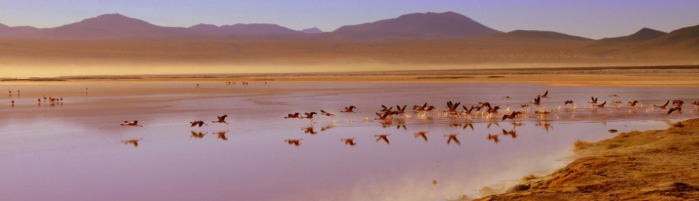
High as a kite en route to Arequipa Peru
Now using the latest 21st century technology, including Garmin MapSource, we can route the entire continent with waypoints of prime camping spots, grocery stores, and gas stations. While still in Peru we can have all of Bolivia routed and plotted. Turn-by-turn directions through large cities like Lima are the security blanket you need when every lane of traffic is attacking you with a vengeance.

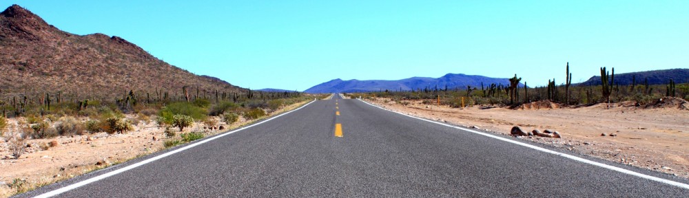
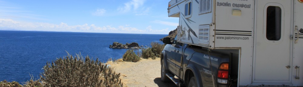
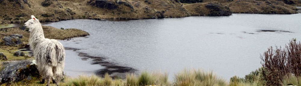
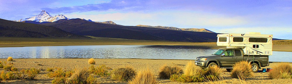
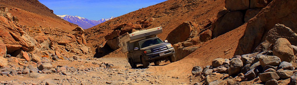
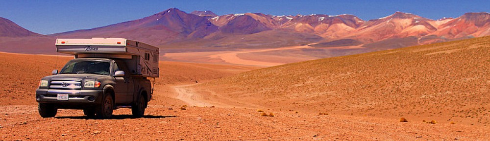
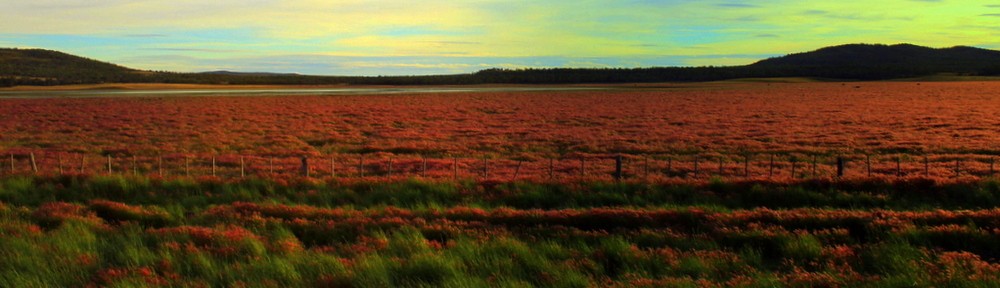
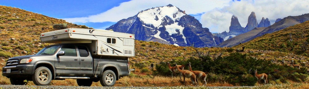
What are you doing in my pasture?
If you’re worried about losing some sense of adventure with your GPS, fear not. Latin America always has the last laugh. Landslides, changing political tones, and even emerging and declining economies ensure that roads are constantly transforming. That rotted out, single track, suspension breaking, switchback will find you regardless of your technology.
RESOURCES
- Open Street Maps (free maps worldwide)
- See Discussion for country specific maps which are often better than OSM
- How to download Garmin MapSource for free


Excellent! I had seen this site before and was trying to track it down again. What GPS are you guys using?
We just launched our new blog yesterday.I see were using the same WordPress theme. If you dont mind I am going to steal your daily count-up and donation widget ideas! I posted a little bit up there, more to come
http://www.homeonthehighway.com
We’re using the Garmin Nuvi 755. We love it, the important thing is that you get a Garmin, for exchanging maps internationally, and make sure it has an SD card slot so you can load multiple maps and store tons of camping waypoints.
Right on with the blog, looks great – steal away.
per usual, great writing…we need to take a lesson from you guys and keep the ‘em short and sweet. Even I get bored reading my own writing!
Thanks! Average time spent on a website is less than a minute, attention spans don’t last long these days.
Funny post! I love the line, “the latest 16th century technology.” Tree and I can relate. We didn’t get our GPS until Costa Rica, and we still don’t whose side it’s really on. One time it tried to take us on a 534 mile route to get somewhere 60 miles away. Bugger. Anyhoo, thank you for the resources at the bottom. Keep on truckin’!
Hard to believe we had a GPS the whole time! Pretty eye opening when you get the correct maps loaded on there.
Pingback: Routing and Planning | PanAm Notes